
Mapping the Unmapped: A Comprehensive Guide to Google Maps’ Pinning and Location Features
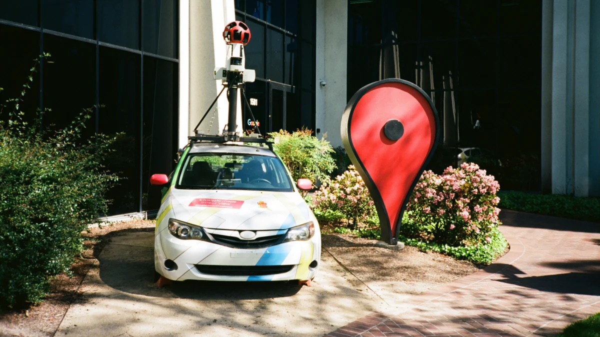
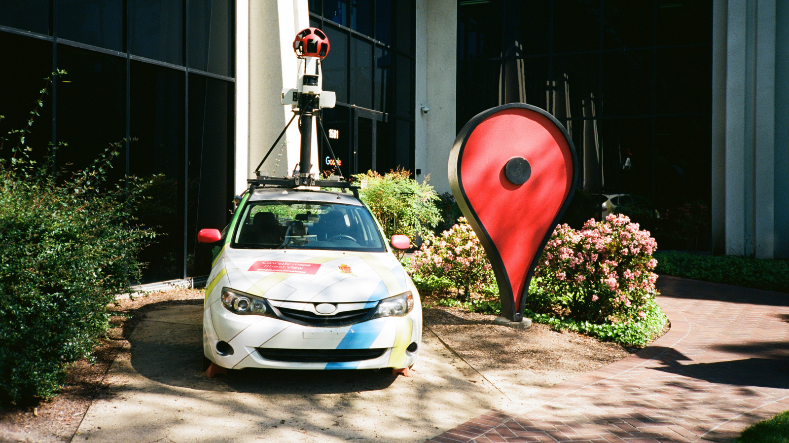
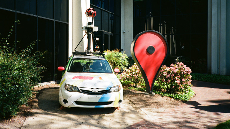
Since its inception in 2005, Google Maps has evolved from a rudimentary digital atlas into the world’s most sophisticated navigation and exploration tool. While the platform boasts high-tech features like immersive 3D view, real-time traffic analysis, and AI-driven business insights, its most enduring symbol remains the humble "red pin." This simple UI element serves as a vital bridge between the digital map and the physical world, allowing users to claim, mark, and share locations that lack formal addresses or business signage.
In an era where precision is paramount, knowing how to leverage the "drop a pin" feature—and its associated ecosystem of location-sharing tools—is an essential skill for the modern digital citizen.
The Chronology of Digital Navigation: From Paper to Pixels
To understand the utility of dropping a pin, one must look at the trajectory of digital cartography. Before 2005, navigation was largely dependent on static paper maps or expensive, proprietary GPS hardware. When Google launched its mapping service, the intent was to organize the world’s geographical information.
- 2005: Google Maps launches, introducing the concept of searchable locations.
- 2007: The introduction of Street View revolutionized how users identified locations, allowing them to see a destination before arriving.
- 2010s: The rise of mobile integration turned every smartphone into a professional-grade GPS, with the "dropped pin" becoming the standard way to denote non-addressable locations, such as remote trailheads, campsite coordinates, or meeting spots in large urban parks.
- 2020s to Present: Google has pivoted toward AI-integrated experiences, such as Immersive View and Live View, yet the core functionality of the pin remains the foundational method for user-generated data collection.
The Mechanics: How to Drop a Pin
Despite the platform’s increasing complexity, the act of pinning a location remains intentionally streamlined. Whether you are navigating a bustling city or an off-the-grid location, the process is designed for immediate execution.
Dropping a Pin on Mobile (iOS and Android)
For mobile users, the interaction is tactile and intuitive:
- Open the App: Ensure your location services are enabled for higher accuracy.
- Long-Press: Tap and hold your finger on any empty space on the map.
- The Result: A red pin will appear at the exact coordinates. A menu will slide up from the bottom, providing the address (if available) or the latitude/longitude coordinates.
- Actionable Data: Once pinned, you can immediately hit "Directions" to route your path, "Save" the location to a custom list, or "Share" the coordinates via text, email, or messaging apps.
Dropping a Pin on Desktop
The desktop version offers a broader view, making it ideal for planning logistics:
- Search or Navigate: Find the area of interest using the mouse to pan and zoom.
- Click: Simply left-click on the desired location.
- Coordinate Access: A small grey pin icon will appear, and an information card will surface at the bottom of the screen. Clicking the coordinates provided in this card allows you to copy them to your clipboard, which is particularly useful for geocaching, emergency services, or professional logistics.
Supporting Data: Why Precision Matters
The utility of the pin goes beyond simple convenience; it serves as a critical infrastructure tool. According to recent user behavior analytics, location-sharing is one of the most-used features within the Google Maps ecosystem.
- Emergency Services: In rural or unaddressed areas, sharing a dropped pin is often the fastest way for emergency responders to locate an individual.
- Commercial Utility: Businesses without physical storefronts—such as food trucks, pop-up events, or mobile service providers—rely on pinned locations to inform their customer base of their daily positioning.
- Efficiency Metrics: Studies have shown that using shared pins reduces "last-mile" navigation errors by approximately 40% compared to searching for a general address, which may lead to a main entrance rather than a specific parking lot or drop-off point.
Advanced Features: Beyond the Red Pin
While the red pin is the starting point, Google Maps offers a sophisticated suite of location-sharing and mapping tools designed for power users.
Real-Time Location Sharing
If you are meeting someone in a dynamic environment, static pins may not suffice. Google Maps allows users to "Share your location" in real-time. By tapping your blue "dot" (representing your current position) and selecting "Share location," you can allow friends or family to see your progress on a map for a set duration. This feature has become a standard in personal safety and logistics, providing peace of mind for travelers and lone workers.
The Power of "My Maps"
For those requiring a more structured approach, the "My Maps" feature acts as a private, customizable layer over the standard Google interface.
- Layering: Users can create custom maps with multiple layers (e.g., "Favorite Restaurants," "Client Locations," or "Hiking Trails").
- Data Capacity: A single custom map can hold up to 10,000 individual points, lines, or shapes.
- Accessibility: While these maps must be authored on a desktop browser, they are fully interactive on mobile devices. This is an indispensable tool for travel planning, allowing users to curate a personal itinerary that visualizes their entire trip on a single interface.
Implications for the Future of Cartography
The democratization of mapping—the ability for any user to contribute to the data layer of the planet—has significant implications. As we move toward a world of autonomous delivery vehicles and advanced robotics, the accuracy of user-generated pins becomes part of the global dataset. When you save a location, you aren’t just helping yourself; you are potentially helping refine the "ground truth" of the digital map.
However, this convenience comes with the responsibility of data privacy. Google maintains strict controls over location history, and users are encouraged to review their "Timeline" settings to manage how long their location data is stored.
Official Perspective and Support
Google’s design philosophy for Maps centers on the idea that "the world is constantly changing." By providing tools for users to mark locations, Google effectively crowdsources the maintenance of its map data. A spokesperson for Google has previously noted that user-contributed data is a vital component of the platform’s accuracy. When a user drops a pin, it serves as a signal—a digital footprint that the area is active, frequented, and worthy of further inclusion in the broader dataset.
For users experiencing issues with pinning or location accuracy, Google’s support documentation emphasizes the importance of GPS calibration. Simply waving your phone in a "figure eight" motion can often recalibrate the internal compass, ensuring that the pin you drop is accurate to within a few meters.
Conclusion
Dropping a pin on Google Maps is more than a simple UI action; it is an act of digital navigation that connects personal intent with global data. Whether you are marking a secret fishing spot, coordinating a delivery to a remote job site, or planning a complex multi-city vacation, the ability to define a point on the map is a foundational skill.
As technology continues to advance, the methods we use to interact with our environment will only grow more seamless. But for now, the red pin remains the most reliable way to say, "I am here," or "Meet me at this exact spot." By mastering these features, you transform from a passive consumer of maps into an active architect of your own geographical experience.
